



City and place camera map · KY
License plate readers in Georgetown.
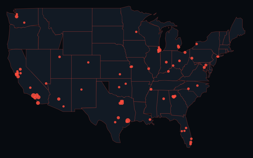
22 mapped plate readers within Georgetown city in the 2024 Census place boundaries.
What is mapped here
22 source points are tagged as Flock; 0 are other or unknown-vendor plate readers. Other surveillance layers are excluded from this total. Source snapshot (UTC): . These are community-mapped locations, not a complete inventory or confirmation that a device is operating.
Agency status in the sources
Georgetown Police Department: Posted October 12, 2026 minutes in the October 26 agenda packet record a 5-3 motion to suspend the ALPR and Flock camera programs until a review and public forum, with a request to cover the cameras. The minutes have blank approval lines, and the October 26 agenda calls for their approval. This records the council action as described in the posted minutes; it does not independently verify the condition of every device, account access, contract termination, equipment removal or deletion of stored data. Status source, checked 2026-10-24. This agency statement does not identify the operator of every mapped point.
Which boundary this uses
The count uses Georgetown city, Census GEOID 2130700, in the 2024 TIGER/Line places file. Boundary source checked 2026-10-23. It does not count nearby unincorporated roads or other places outside that polygon. A mailing address, police service area and current municipal boundary may differ.
Census geographic class definitions, checked 2026-10-23. Points exactly on ambiguous shared boundaries are excluded rather than counted twice.
Inspect the source locations
Original records retain their source coordinates. Point check dates use the source UTC calendar. The sample below is sorted by source ID, not importance, traffic volume or confirmed activity.
- osm:n13192564849: Flock-tagged, near 38.216934, -84.533491. Source checked 2026-10-24.
- osm:n13192564850: Flock-tagged, near 38.235458, -84.533453. Source checked 2026-10-24.
- osm:n13315580602: Flock-tagged, near 38.227958, -84.534229. Source checked 2026-10-24.
- osm:n13361611501: Flock-tagged, near 38.223012, -84.539861. Source checked 2026-10-24.
- osm:n13663295301: Flock-tagged, near 38.178816, -84.558979. Source checked 2026-10-24.
- osm:n13897856320: Flock-tagged, near 38.229457, -84.533642. Source checked 2026-10-24.
- osm:n14059982401: Flock-tagged, near 38.183086, -84.560693. Source checked 2026-10-24.
- osm:n14068703301: Flock-tagged, near 38.214679, -84.540682. Source checked 2026-10-24.
- osm:n14071468401: Flock-tagged, near 38.212306, -84.530456. Source checked 2026-10-24.
- osm:n14071468801: Flock-tagged, near 38.212152, -84.530510. Source checked 2026-10-24.
County records and agency policies
County relationships use the 2024 Census county-place records, checked 2026-10-23. A place within one county keeps that county association; places spanning counties use the map polygons to assign individual points. County guides use the shared map outlines, which can differ from these Census place relationships. City counts therefore may not nest exactly inside a county guide total. An agency operating somewhere in a county does not establish that it owns these city source points.
- Scott County: 22 of this place's mapped plate readers assigned to the county.
- Georgetown Police Department: sourced agency records.
- Stamping Ground Police Department: sourced agency records.
- Scott County Sheriff's Office: sourced agency records.
Sources and limits
Camera points: OpenStreetMap contributors, ODbL 1.0. Census boundary files are public data from the U.S. Census Bureau. Explicit manufacturer or brand entity links may supply Wikidata labels, CC0 1.0, used in source classifications. That does not establish ownership or independent physical verification. Source coordinates are not surveyed locations, and 2024 polygons may differ from current boundaries. Missing or removed devices and mapping errors are possible. A low count does not show that less surveillance occurs.
Map methodology · How to inspect camera sources · More Kentucky city and place guides