
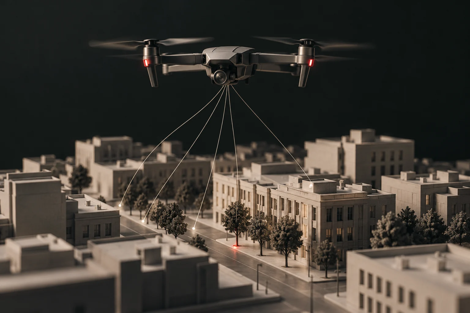


A public map of the cameras watching the road.

How You Are Tracked maps documented surveillance in the United States, starting with automated license plate readers made by Flock Safety. It is built in public and updated as new records are found.
What a license plate reader does
An automated license plate reader is a camera that photographs passing vehicles and turns each plate into searchable text, stored with the time and place. Many systems also record a vehicle's make, color and other features. Agencies set their own rules for how long that data is kept and who can search it.

Where the data comes from
OpenStreetMap. Camera locations mapped by volunteers and tagged as license plate readers, with the manufacturer, operator and facing direction when contributors recorded them. Data © OpenStreetMap contributors, available under the Open Database License.
Public records. Agency transparency portals, city contracts and records requests are being added. Every camera links to the exact record it came from and shows the date it was checked.
What a point means, and what it does not
- A point is a place where a source documents a camera. It is not proof that the camera is operating today.
- The map is not a complete count. Many cameras have never been mapped. An empty area does not mean no cameras are there.
- Manufacturer and operator appear only when the source states them. Nothing is guessed.
Street level
Zoom in and the map switches to aerial imagery from the U.S. Geological Survey. Each camera has a Street View link that opens Google Maps at that spot, so you can look for the pole yourself. Street View imagery can be years old.
Coming next
Other license plate reader vendors, gunshot detection sensors, face recognition deployments and police drone programs, each as its own map layer. Agency pages will show what each police department or sheriff uses, how long it keeps the data and who it shares it with.
Privacy on this site
This site runs no advertising or analytics trackers. "Cameras near me" uses your browser's location only on your device; the location is not sent to this site or stored. Map tiles come from OpenFreeMap and aerial imagery from the U.S. Geological Survey, which receive the normal map tile requests your browser makes. The commute tracer sends the two route points to the public OSRM routing service.
Corrections
Spotted a camera that is missing, moved or gone? The fastest fix today is to edit it on OpenStreetMap, which this map reads. A correction form is planned.