
Compare
Two places, side by side.
Pick two states to compare their mapped license plate cameras, busiest counties and news.
vs

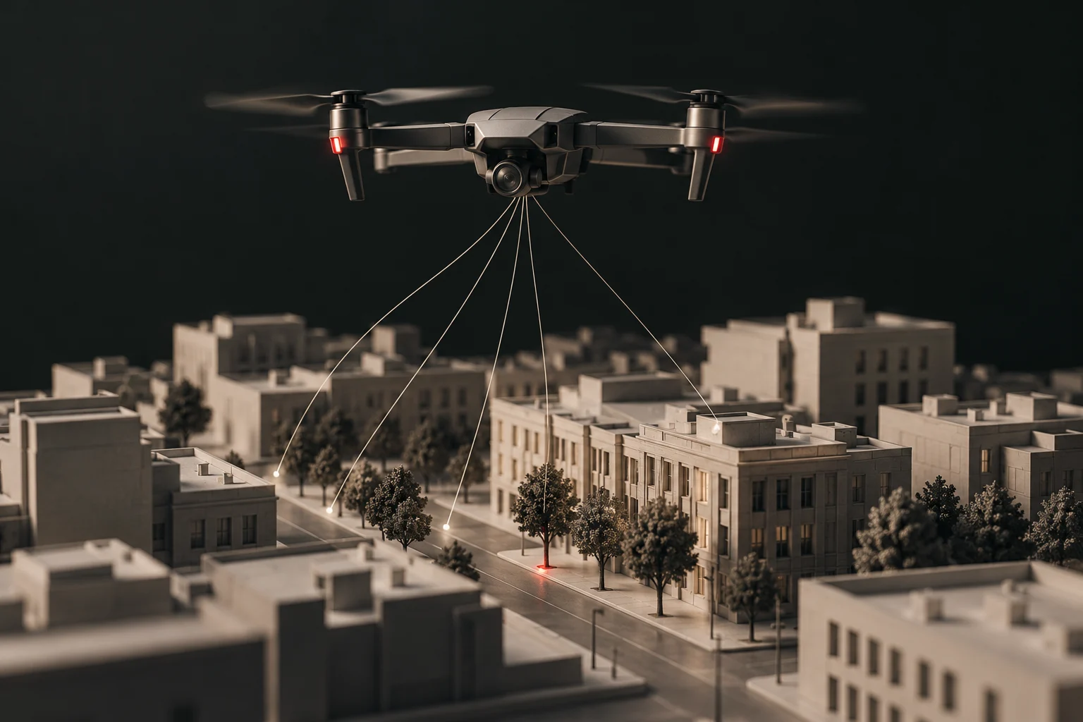 Open the map150,443 mapped camerasZoom from the whole country down to the street. Every camera links to its source.Explore the U.S. map →
 Home stateKentuckyOpen the Kentucky map →Most mapped countiesHarris County, Texas 4,192Los Angeles County, California 3,644Cook County, Illinois 2,853Riverside County, California 2,391Dallas County, Texas 1,730San Bernardino County, California 1,647San Diego County, California 1,536Alameda County, California 1,504All states →
 How this worksEvery camera links to its sourceWhat a mapped point means, and what it does not.Read about the map →
Pick two states to compare their mapped license plate cameras, busiest counties and news.