



Local camera guides
New York county camera maps
Browse 46 county guides with mapped plate reader counts, sources and agency records where verified.
- Nassau County
440 mapped plate readers - Queens County
407 mapped plate readers - New York County
341 mapped plate readers - Erie County
331 mapped plate readers - Kings County
325 mapped plate readers - Suffolk County
325 mapped plate readers - Westchester County
310 mapped plate readers - Orange County
242 mapped plate readers - Rockland County
220 mapped plate readers - Onondaga County
152 mapped plate readers - Monroe County
147 mapped plate readers - Albany County
141 mapped plate readers - Bronx County
139 mapped plate readers - Dutchess County
131 mapped plate readers - Broome County
85 mapped plate readers - Cattaraugus County
71 mapped plate readers - Niagara County
61 mapped plate readers - Oneida County
57 mapped plate readers - Schenectady County
54 mapped plate readers - Ulster County
53 mapped plate readers - Rensselaer County
51 mapped plate readers - Chemung County
49 mapped plate readers - St. Lawrence County
46 mapped plate readers - Ontario County
41 mapped plate readers - Tompkins County
30 mapped plate readers - Putnam County
28 mapped plate readers - Cayuga County
25 mapped plate readers - Sullivan County
23 mapped plate readers - Oswego County
22 mapped plate readers - Saratoga County
22 mapped plate readers - Columbia County
19 mapped plate readers - Chautauqua County
18 mapped plate readers - Montgomery County
17 mapped plate readers - Clinton County
16 mapped plate readers - Warren County
15 mapped plate readers - Franklin County
14 mapped plate readers - Otsego County
14 mapped plate readers - Orleans County
12 mapped plate readers - Seneca County
12 mapped plate readers - Steuben County
12 mapped plate readers - Genesee County
9 mapped plate readers - Herkimer County
9 mapped plate readers - Cortland County
7 mapped plate readers - Chenango County
6 mapped plate readers - Jefferson County
5 mapped plate readers - Wyoming County
5 mapped plate readers
Source and coverage
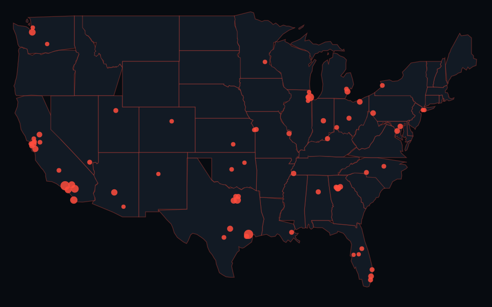
These guides count Flock-tagged and other ALPR source points, excluding other surveillance layers. County-equivalent areas keep the names in the map outlines. Counties with fewer than five mapped plate readers are omitted unless a sourced agency record makes a guide useful. Missing locations are expected.
OpenStreetMap contributors, ODbL 1.0. Snapshot date (UTC) 2026-10-24. Explicit manufacturer or brand entity links may supply Wikidata labels, CC0 1.0, used in source classifications. That does not establish ownership or independent physical verification. Published county summaries · Map methodology.