



Agency records · KY
Cynthiana Police Department
Drone program records for Cynthiana. Each fact keeps its source and checked date.
Written rules describe policy, not proof that every operation follows it. Reported equipment totals and mapped source locations have different scopes. A launch facility is not a drone count or a flight track.
Program status reported by the source
The undated city police page describes a drone unit and identifies a DJI Matrice 210 with FLIR capability. This is the city's equipment disclosure.
Source. Checked 2026-10-24.
What the public record establishes
The model number is not a fleet quantity. Publication date, inventory date, current serviceability, pilot staffing and drone-as-first-responder status remain unverified. The police office address does not establish a drone launch site.
Source. Checked 2026-10-24.
Drone vendors
DJI
Aircraft brand named by the city; payload supplier and contracting entity are not established.
Source. Checked 2026-10-24.
Technology named in the source
DJI Matrice 210; FLIR capability as described by the city.
Source. Checked 2026-10-24.
Details not yet verified
Reported drones, Data retention, Access and oversight, Recording rules, Operational partners, Named data-sharing partners, Contract value, Contract start date, Contract end date. No value is inferred from a county map count or another agency's policy.
Source documents
- Official Cynthiana Police Department: drone equipment disclosure. Checked 2026-10-24; source publication date not stated.
- Census 2024 Vintage place and county relationships. Checked 2026-10-24; source publication date not stated.
Local map
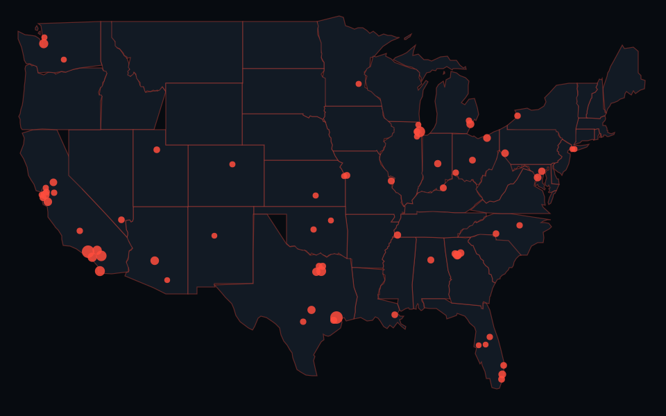
Harrison County camera guide. The county map includes source points from multiple operators. It is not this agency's inventory.
How to read a camera policy · Why map counts differ from agency totals · All agency records · Tracking news